
01
2D/3D seismic survey design
Acquisition parameters and line layout for the exploration target.
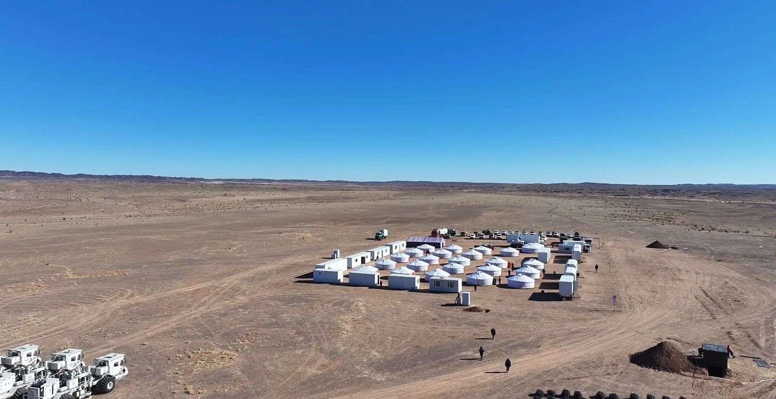
Seismic exploration in Mongolia since 2010
Micro Seismic carries out seismic refraction and reflection surveys for coal, oil, oil shale and coal-bed methane exploration — with its own crews, its own equipment and an in-house processing centre.
About us
Micro Seismic LLC was established in October 2010. Its main activities are mineral exploration, geological survey and geophysical seismic survey. The company operates with 10 engineers and more than 40 field workers.
Our specialists have worked as chief geophysicist, data processor, observer, QC and supervising engineer on oil exploration projects in Mongolia since 2003.
In November 2011 we established the General Energy Technology and Development (GETD) centre together with a Beijing-based partner, for digital processing and final interpretation of seismic data.
Services
01
Acquisition parameters and line layout for the exploration target.
02
Reflection and refraction surveys for coal, oil, oil shale, CBM and uranium.
03
Low-velocity layer, depth to bedrock and thickness of Neogene sediments.
04
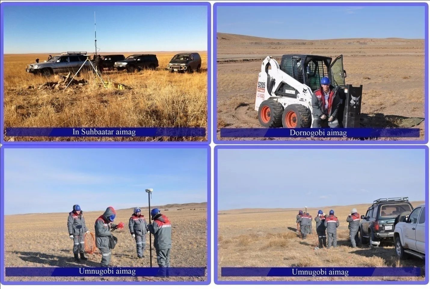
GPS static control network and RTK positioning of shot and receiver points.
05
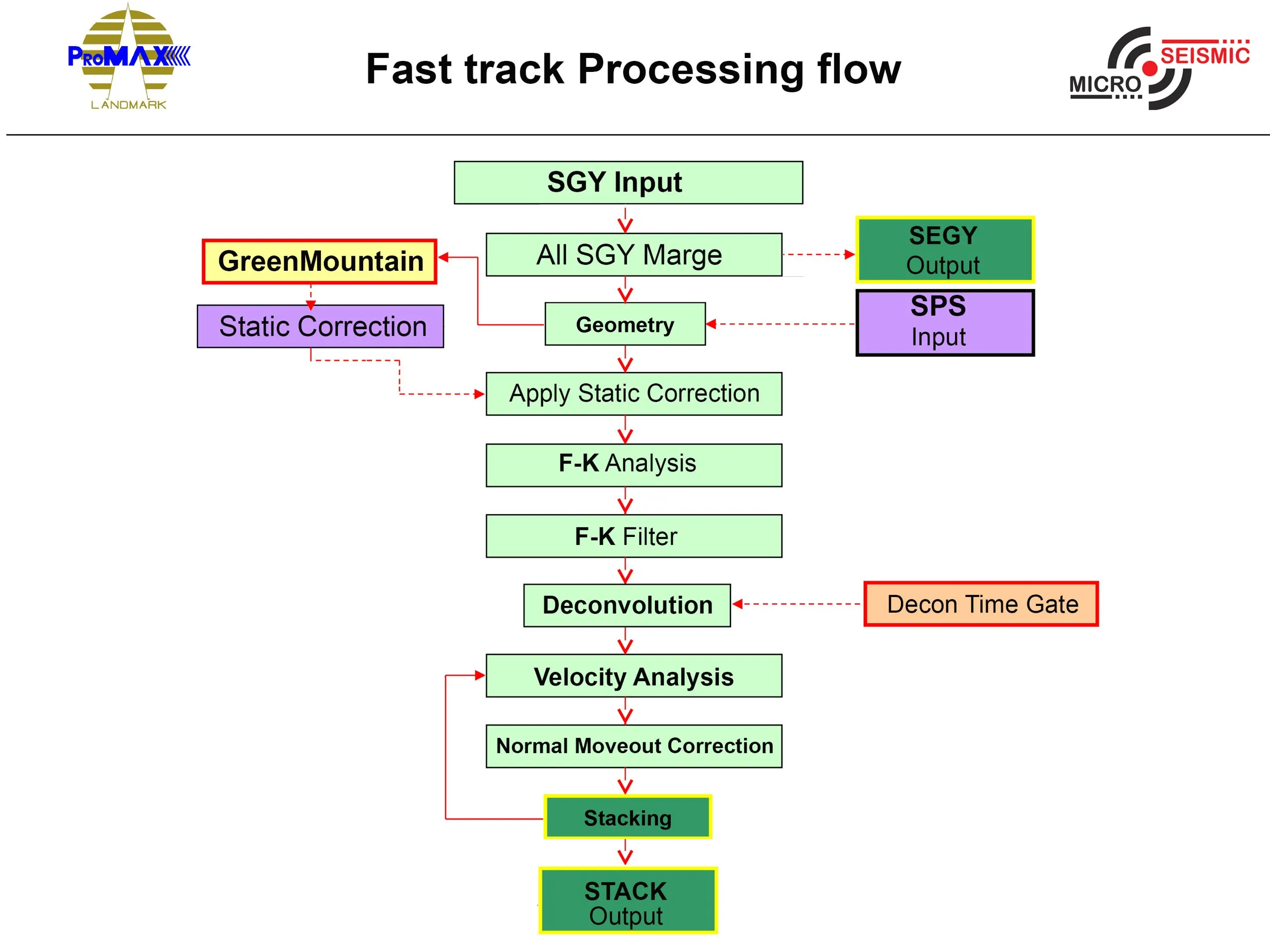
Fast-track processing on site with ProMAX and Green Mountain.
06
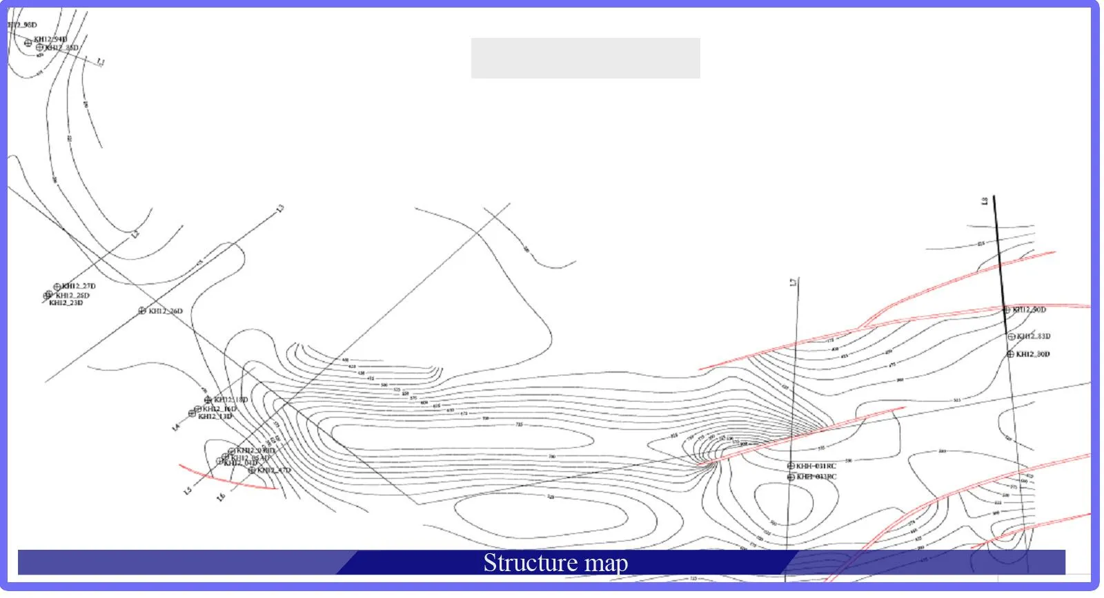
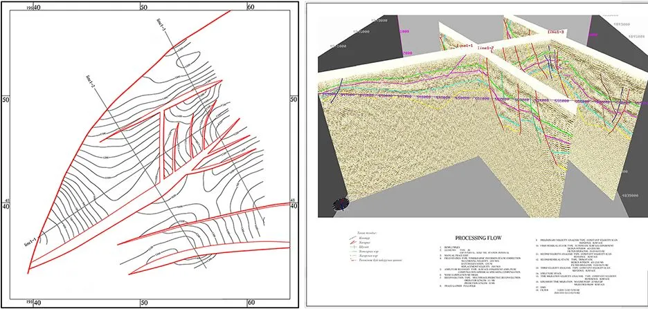
Time and depth migration, interpretation, structure maps and resource assessment.
07
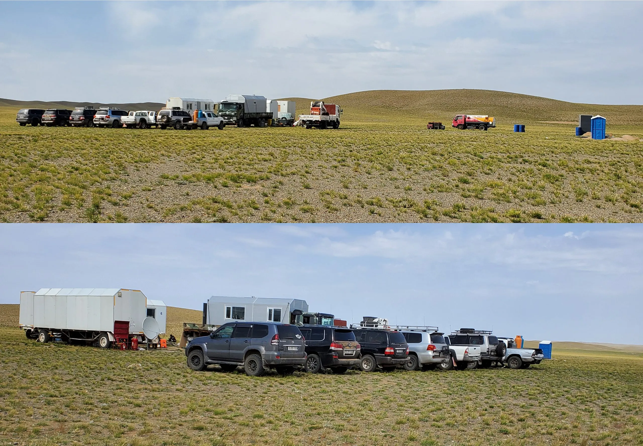
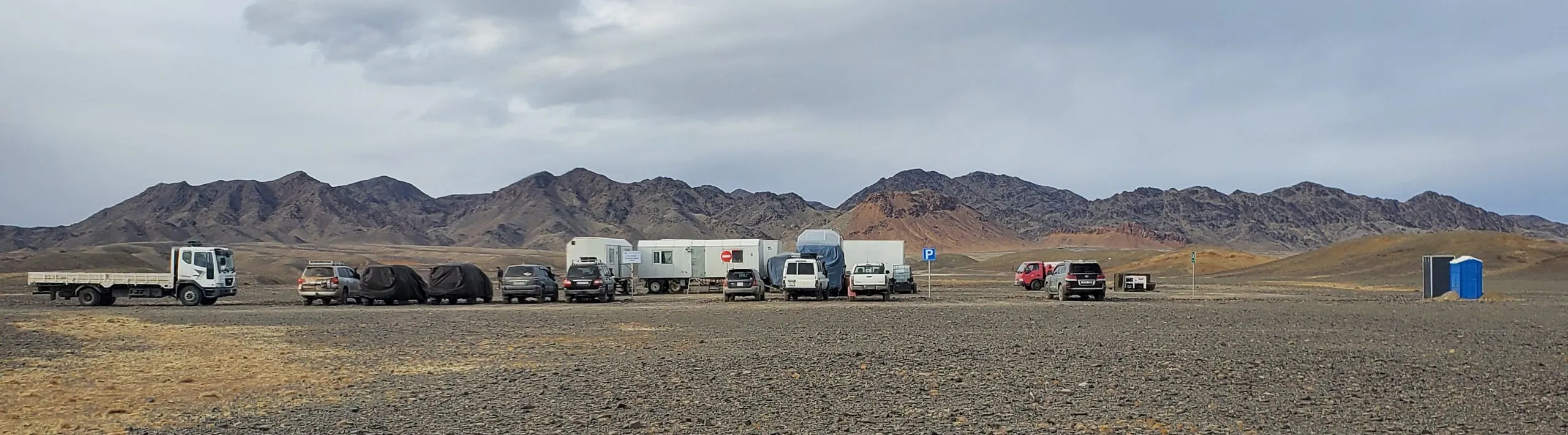
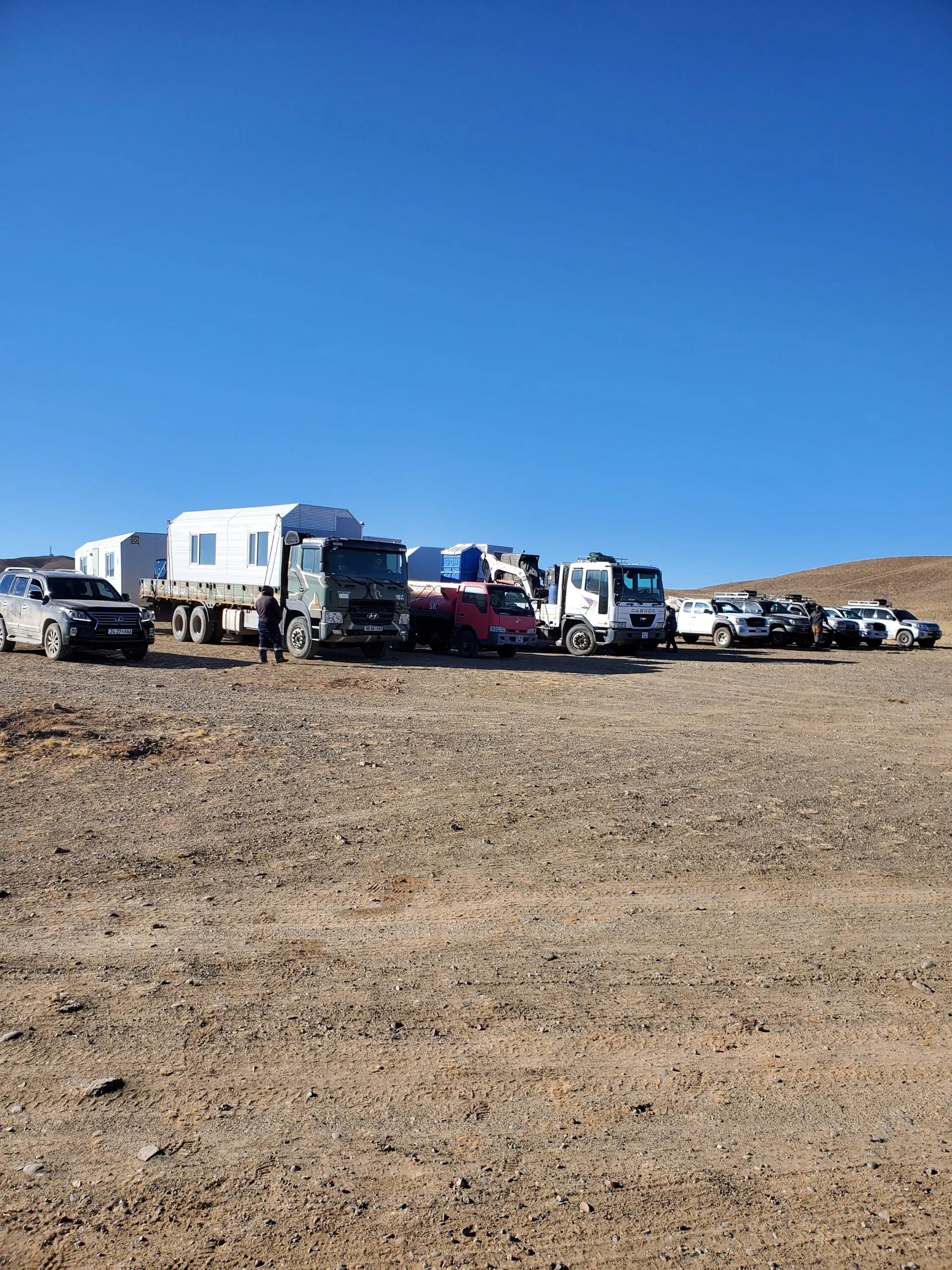
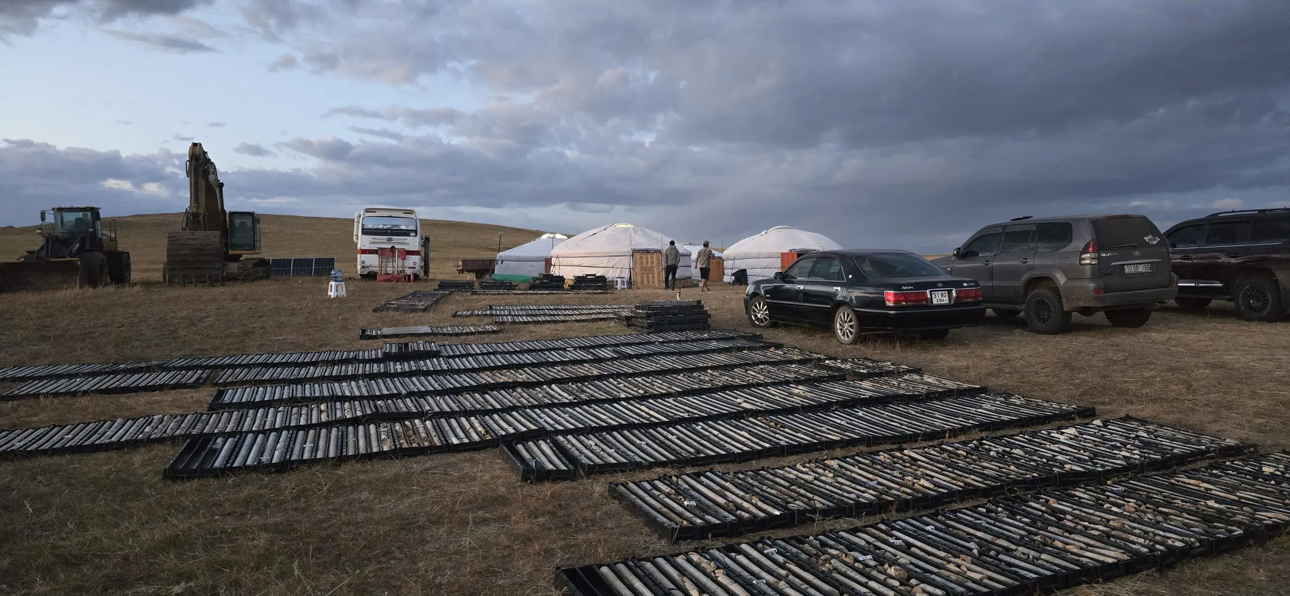
Field camps, catering, vehicles and acquisition support for large crews.
08
Geological mapping combined with seismic data.
Workflow
STEP 1
GPS control network and staking of shot and receiver points.
STEP 2
Recording with Geist-176 stations and a drop-hammer or vibrator source.
STEP 3
Statics, velocity analysis and stacking on site for daily QC.
STEP 4
Data is sent weekly to the processing centre in Ulaanbaatar or Beijing.
STEP 5
Structure maps, resource assessment and a final report in English and Mongolian.
Track record
| Year | Client | Location | Target | Role | Line |
|---|---|---|---|---|---|
| 2026 | Bayan Talst Erdene Tour LLC | Dornogovi · Mandakh | Coal | Main contractor | 22 km |
| 2025 | BGP Mongolia LLC | Dornogovi · Tukhum-X | Oil · 3D | GPS, camp & acquisition support | 185 km |
| 2025 | Mongold LLC | Govisumber · Shivee Ovoo | Coal | Main contractor | 19.4 km |
| 2024 | NET Gobi Energy LLC | Umnugovi · Gurvantes | Coal | Main contractor | 44.5 km |
| 2023 | Tsagaan Uvuljuu LLC, Enkhtunkh Orchlon LLC | Licence block · MV-17162, MV-19149 | Coal | Main contractor | 38.2 km |
| 2023 | Telmen Resource LLC | Umnugovi · Gurvantes-XXXV | Coal-bed methane | Main contractor | 70 km |
| 2023 | Buman Sor Od LLC | Licence block · XV-022042 | Coal | Main contractor | 30 km |
| 2022 | Telmen Resource LLC | Umnugovi · Gurvantes-XXXV | Coal-bed methane | Main contractor | 20 km |
Equipment
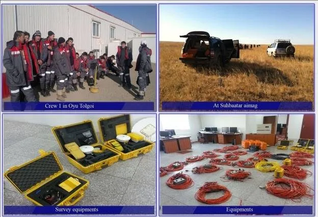
Geist-176 and Geode-48 seismic stations, 24-bit, SEG-Y output.
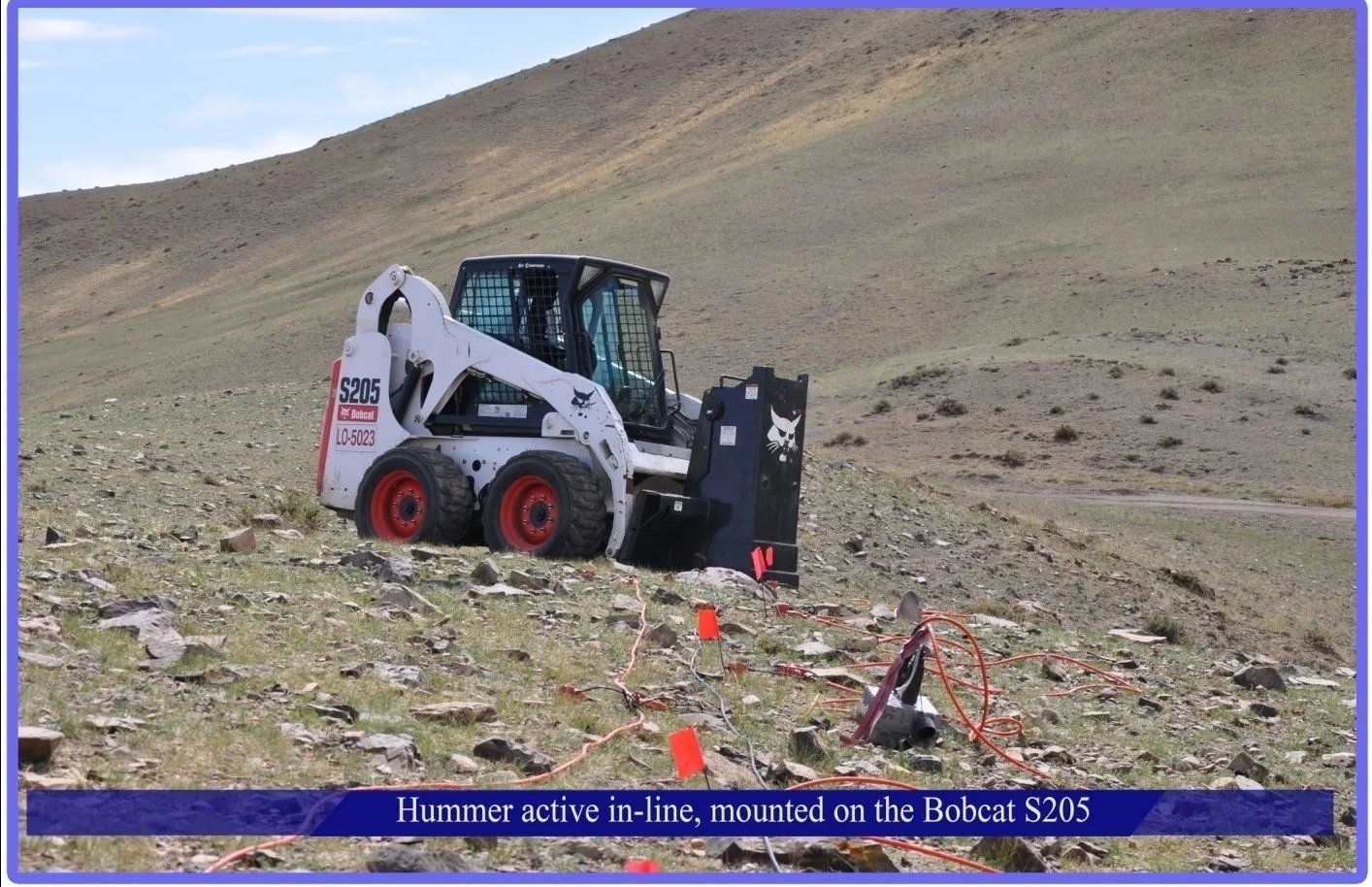
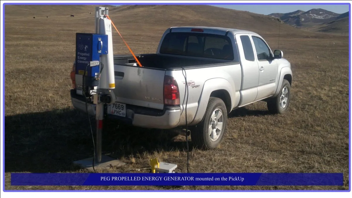
Bobcat S205 in-line drop hammer and a PEG energy generator mounted on a pickup.
Trimble GPS receivers with radio modems for RTK positioning.
ProMAX 2D/3D, Focus 5.4, Omega 1.8.3, Grisys 8.0, Green Mountain, Landmark, Jason, Strata.
Data processing
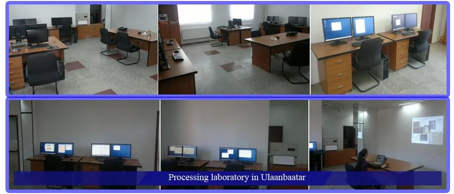
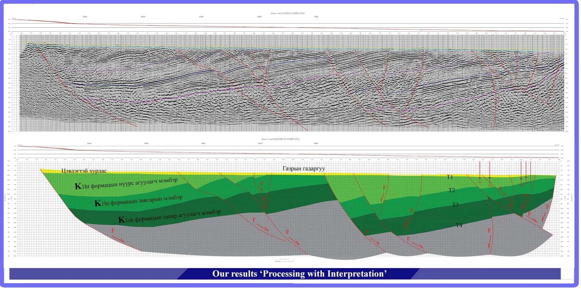
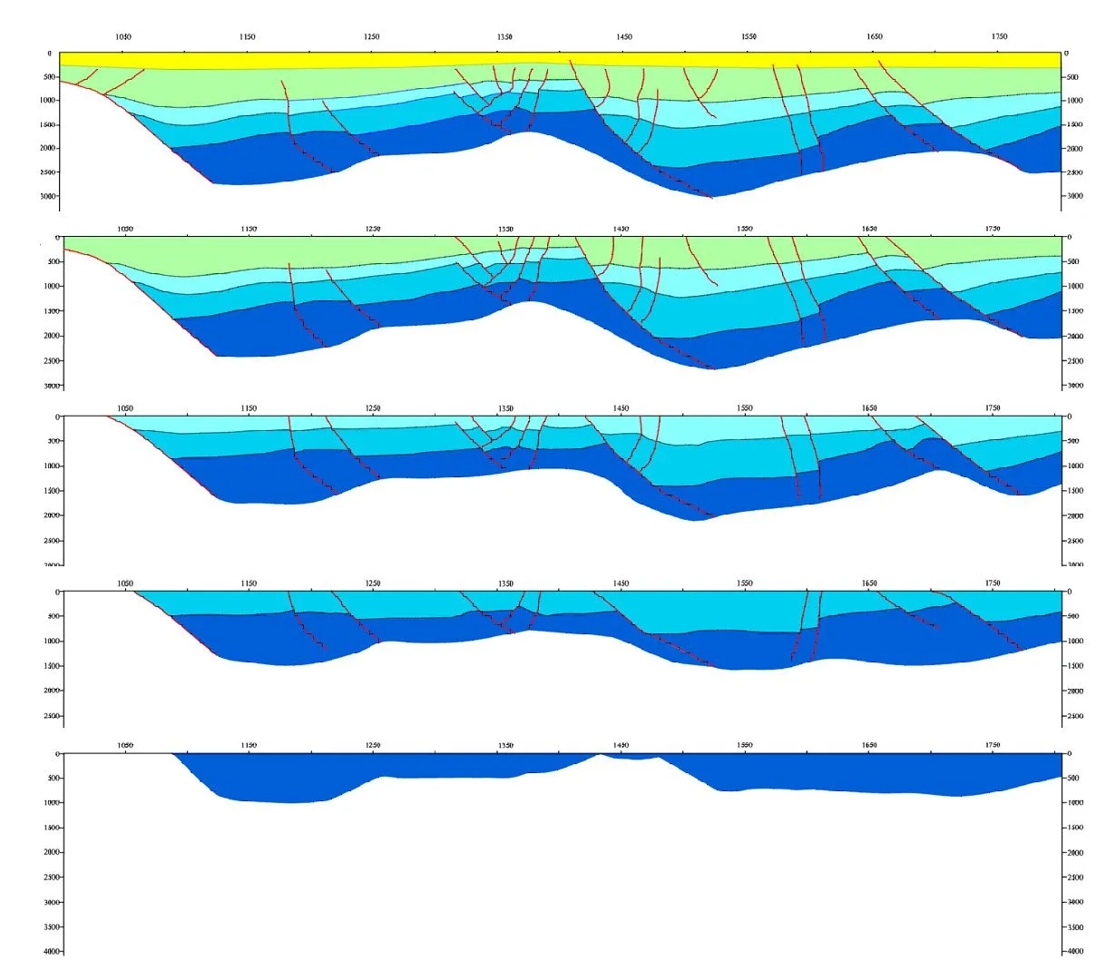
Field records are processed on site for daily QC, then sent every week to our processing centre in Ulaanbaatar or Beijing for final processing, interpretation and resource assessment.
01
Software: ProMAX 2D/3D, Green Mountain, RadExPro
02
Software: Focus 5.4, Omega 1.8.3, Grisys 8.0, ProMAX 2D/3D, Geovecteur, Green Mountain
03
Software: Landmark, GeoFrame, SeisX, Strata 9.0, Jason 8.0, EPT, Discovery; mapping in Double Fox and MapGIS
Processing centre: 6 HP workstations, 6 computers and a large-format plotter. Survey design and optimization with Geoeye and KLseis.
Processing results
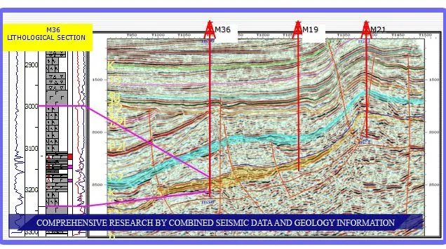
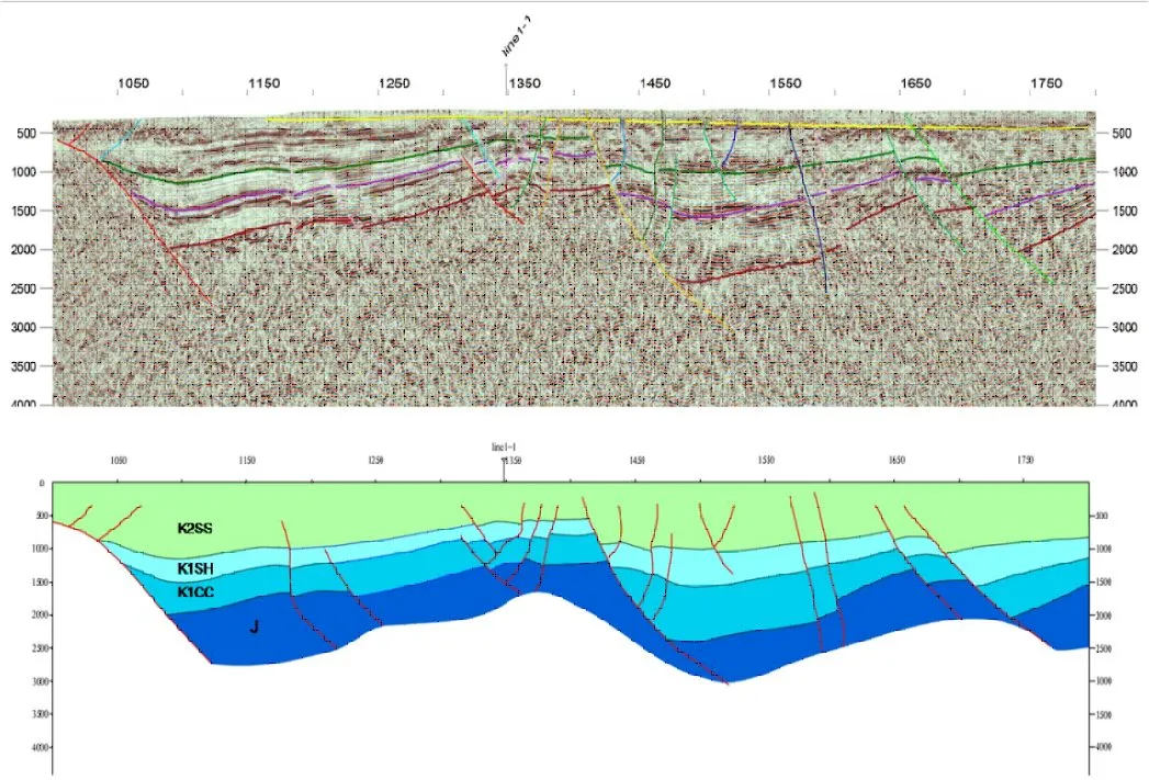
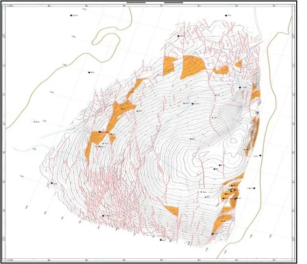
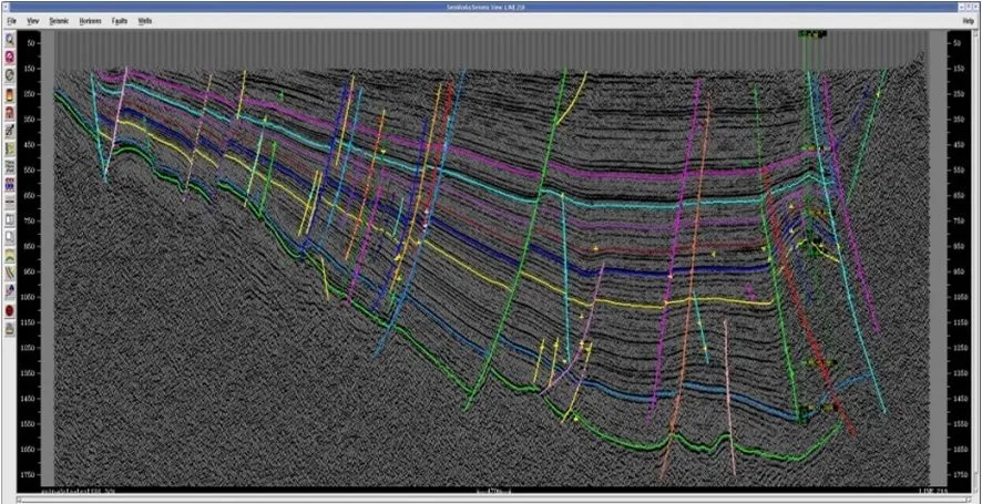
Quality and HSE
Work follows SY/T petroleum seismic standards, HSE codes for seismic crews and the laws of Mongolia.
Vehicles stay on agreed routes, waste is removed under contract with the local community, and the work area and camp site are restored and handed over to the local environmental officer.
In the field
Contact